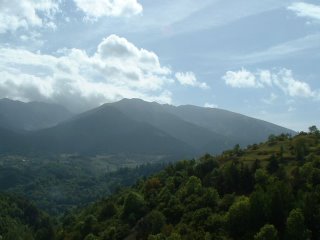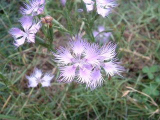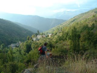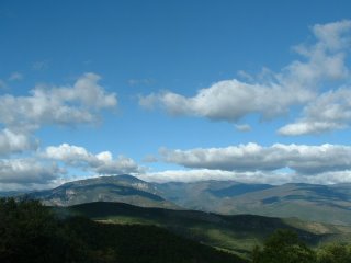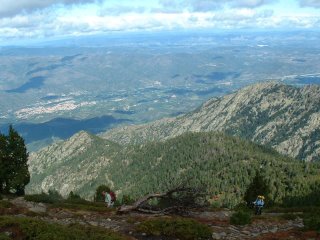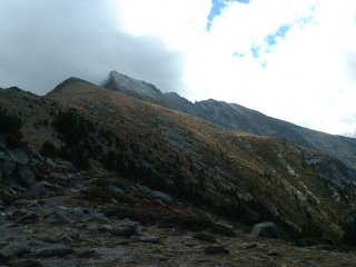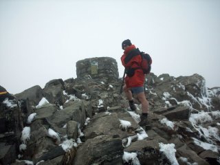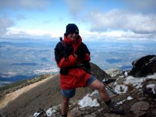
With four days holiday remaining this year, I decided to blow the lot on a trip to France. I've always been in spring before, so wanted to see it in a different season. Usually, when I go, I eat fresh cherries straight from the tree off the patio outside 'my' bedroom at Brenda's house. This time it was ripe figs, pomegranates and walnuts! Walking on the hillsides and mountains in France is a sensory feast, as the smells are divine! The fresh herbs get crushed as you walk, and the aroma wafts along with you. Of course, there are the flowers too.
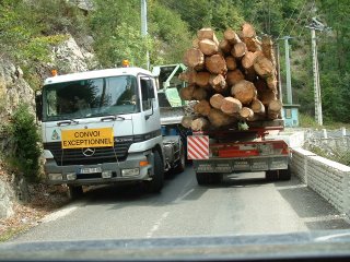
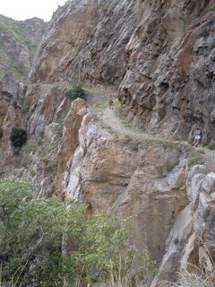
Anyway - the journey began with Brenda taking a TWO HOUR drive to Carcassonne to pick us up from the airport. Typical of Brenda, she decided not to take the motorway back, but to go through the 'Gorges de St George', as it was prettier! It was also quite spectacular (and S-L-O-W, as we got behind one of the many log lorries on the way.) HOW these monsters negociate the gorges is a mystery. They often take up all of the available road, often forcing cars to reverse to allow them to continue.
Here's a big truck going through one of the small tunnels.
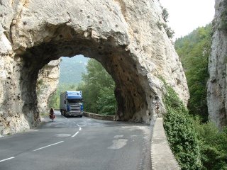
But it made me ponder - what DO they do when they get to an overhang like this? The answer is, they just move right across to the left - and they just get by. NOT a job for the feint-hearted!
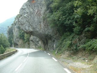 Sometimes, inevitably, two big lorries meet. These two leaned out and shook each others hand as they inched past each other. When this happened in front of us, I really didn't think they'd get past each other, but they are used to these tight squeezes and take it all in their stride.
 Please go to the next part 'France 2'